Maps
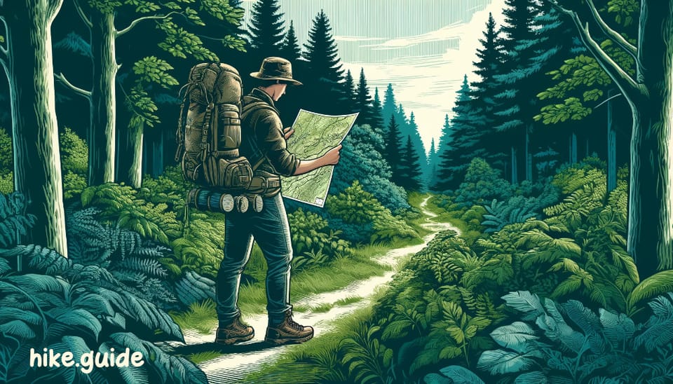
You should know where you're at and what's nearby while hiking a trail, for safety and navigation purposes. Having access to maps can be crucial, especially in remote areas. Can't always rely on your phone and cell coverage.
For shorter, well-marked trails, digital maps on your smartphone may be good enough.
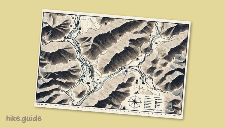
For more extended or challenging hikes in remote areas, physical backup maps are good to have. Topographic maps provide detailed information about the terrain. You have elevations, contour lines and potential obstacles.
The benefits of having physical maps:
- Viewing the surrounding topography: This allows you to plan alternate routes if necessary in case of trail closures due to fires or other hazards.
- Assessing terrain difficulty: Topographic maps show steep inclines, declines and the ruggedness of the terrain, which can help you prepare accordingly.
- Locating water sources: Maps often indicate streams, rivers, or lakes, which can be useful for planning water resupply or identifying potential water crossings.
- Navigating without cell service: When your phone dies or you lose signal, a physical map can be a lifeline for finding your way out of a jam.
While authorities may provide alternate routes in case of trail closures or hazards, they might not give it priority, when hikers need it the most. So having a map empowers you to make informed decisions independently. It will enhance hiker safety and preparedness in your adventures.
Before your next hike, grab some maps.